


05 Sep Flying the Alaska Range
In May 1989, I joined a Genet Expeditions team as an apprentice guide for a Denali climb. This was my first trip to the Alaska Range. While we waited at the Talkeetna airport to fly out to the Kahiltna Glacier, the Park Service Denali Llama helicopter landed with two Genet climbers rescued from a basin at 15,000 feet on the Upper Peters Glacier. Their tent blew off a ridge high on the West Buttress, sending the occupants on a tumbling 1,000-foot fall. Miraculously, they survived. Watching these events unfold rattled our team right before our own epic ascent. We recalled the previous year, a Genet client died high on the mountain. Her body was deposited into a crevasse.
Early the next morning, air taxi owner David Lee woke us up shouting, “Let’s go, let’s go!” We scrambled down from the bunkhouse loft, expecting the weather window to be brief, but we all made it to Basecamp that morning. Conditions there were marginal, shifting from scattered to overcast with periods of fog and light snow.
As we set up camp and organized our gear, I watched a Cessna 185 pass overhead before disappearing behind the clouds. I distinctly heard it turn and fly back toward Basecamp. The sound of the plane grew louder and louder, followed by a “Whumpf!” and then silence. I didn’t see it, but I was sure the airplane had crashed. No one else at Basecamp noticed. I ran down-glacier into the fog to search for the wreckage. The risk of falling into a crevasse didn’t occur to me in the moment.
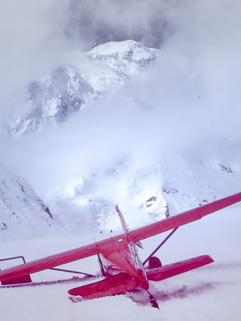
A red airplane appeared within several hundred yards. It was a dreadful scene. The plane had plowed a trench in the snow, shearing off one gear leg and collapsing the other, leaving a trail of scattered parts. Frantic Japanese voices pierced the silence, accompanied by a torrent of profanity from the pilot. Trained as a wilderness EMT, I ushered passengers out of the wreckage and conducted cursory surveys. Remarkably, there were no notable injuries, due in part to the flat surface, shallow approach angle, and deep powder snow. Since all of this happened during my first half-hour at Basecamp, I wondered how the local air taxi business could pencil out.
After the fog lifted, I noticed that the impact trench aligned with Basecamp. If the glide slope had been higher, the plane would have plowed right into the camp. We would have been first in line.
Our expedition lasted 23 days. The assistant guide and two clients turned around at 14,300 feet, but we managed to get two rope teams to the summit. It was thirty below, and we nearly lost two clients on the descent. Ultimately, we short-roped them back to high camp, ending a punishing 17-hour summit day.
While this high-altitude experience did not encourage me to pursue a career as a Denali mountaineering guide, it did inspire my move to Talkeetna. That fall I camped in a small tent on the river at the end of Main Street. David’s sister, Jody, kindly helped me find a property to purchase — a neglected, hilltop cabin inaccessible by road. After a heavy snowstorm, I moved into Jim Okonek’s climber bunkhouse while I worked to make the place habitable. The property overlooks the Talkeetna River and the Alaska Range. From this vantage point, I still observe Denali and its many moods.
In those days, Talkeetna was a sleepy place. There was a harmony to the historic village architecture, and the town exuded an authentic frontier ambiance. The rivers were full of salmon, and there seemed to be more bears than people. I’ve seen grizzly bears walking Main Street in the early morning hours. The bark beetle had not yet decimated the vast Yentna and Susitna Valley spruce forests. Wildlife was abundant. Back then, we could rent the Sheldon Mountain House for $85 a night. That included a complimentary burlap bag of split firewood, to be picked up at Roberta’s house on Main Street. In March, she’d comp us a free night’s stay for shoveling out the place for the season. Few people were around during winter.
The Denali country has been my teacher, offering a lifetime of adventure, discovery, and humbling lessons. Although the range beckons, it demands competence. Somehow I’ve survived my time in the wilderness, exploring via every mode I could manage, and my respect for the land has only grown.
The Athabascan Dena’ina refer to the Central Alaska Range as Dghili Teh, meaning “among the mountains.” This is where I want to be. One with the place. I continue to explore, learn, and revere, and I encourage those dreaming about flying here to do the same. What follows is a local orientation for visiting pilots based on my experience. Corrections, additional information, and photos are welcome.
The Iconic Alaska Range
The scale of the Alaska Range’s is difficult to comprehend. It is a magnificent white arc that stretches for 600 miles from the Aleutian Range to the Yukon; its two highest mountains, Denali and Sultana (Mount Foraker), dwarf the sea of icy peaks around them. The range forms a topographic barrier that shields the interior from maritime weather and redirects Pacific storms, creating distinctly different climate zones and landscape features.
Massive glaciers cool the air, moderating convective instability and diurnal winds. When warming air over the lowlands and foothills creates turbulence, air over the ice deep in the range remains surprisingly smooth.
The Southside
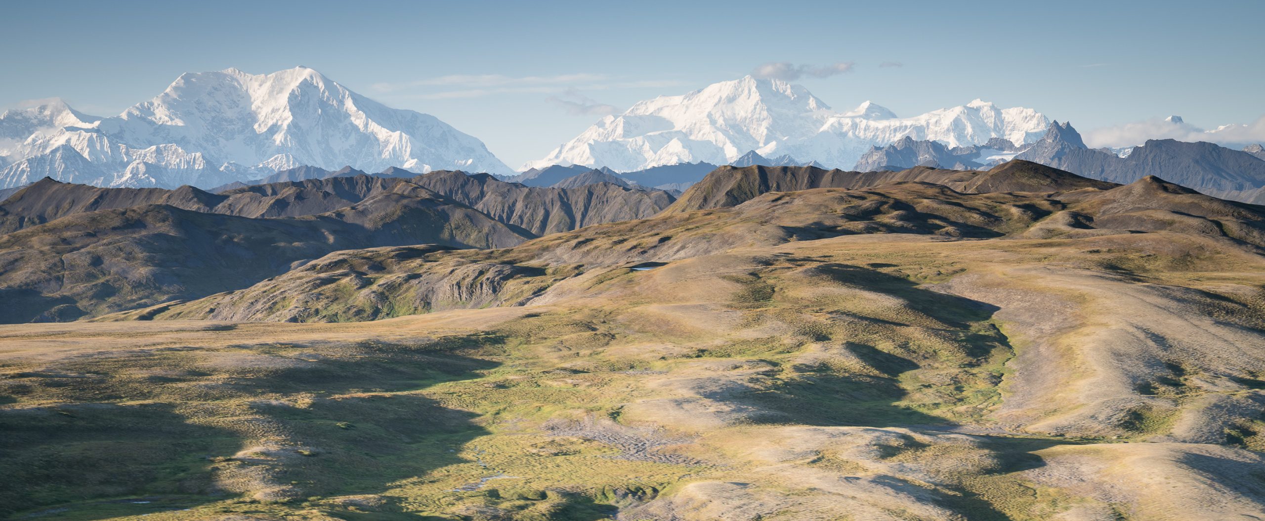
Driven by Pacific storms, the southside averages 30 to 60 inches of precipitation annually, creating dense boreal forests and frequent overcast conditions. Heavy snow accumulation produces larger, faster-flowing glaciers with less surface debris than northside glaciers. Seasonal temperature variations are moderated by the Pacific, creating cooler summers and milder winters than the northside’s subarctic interior climate.
Dense stands of birch and spruce, mixed with aspen and poplar stretch from the coast to the foothills. Stunted spruce, shrubs, tall grass, and tundra dominate subalpine zones, while large rocks, angular gravel, hummocks, and low-profile plants are typical in alpine areas.
The Northside
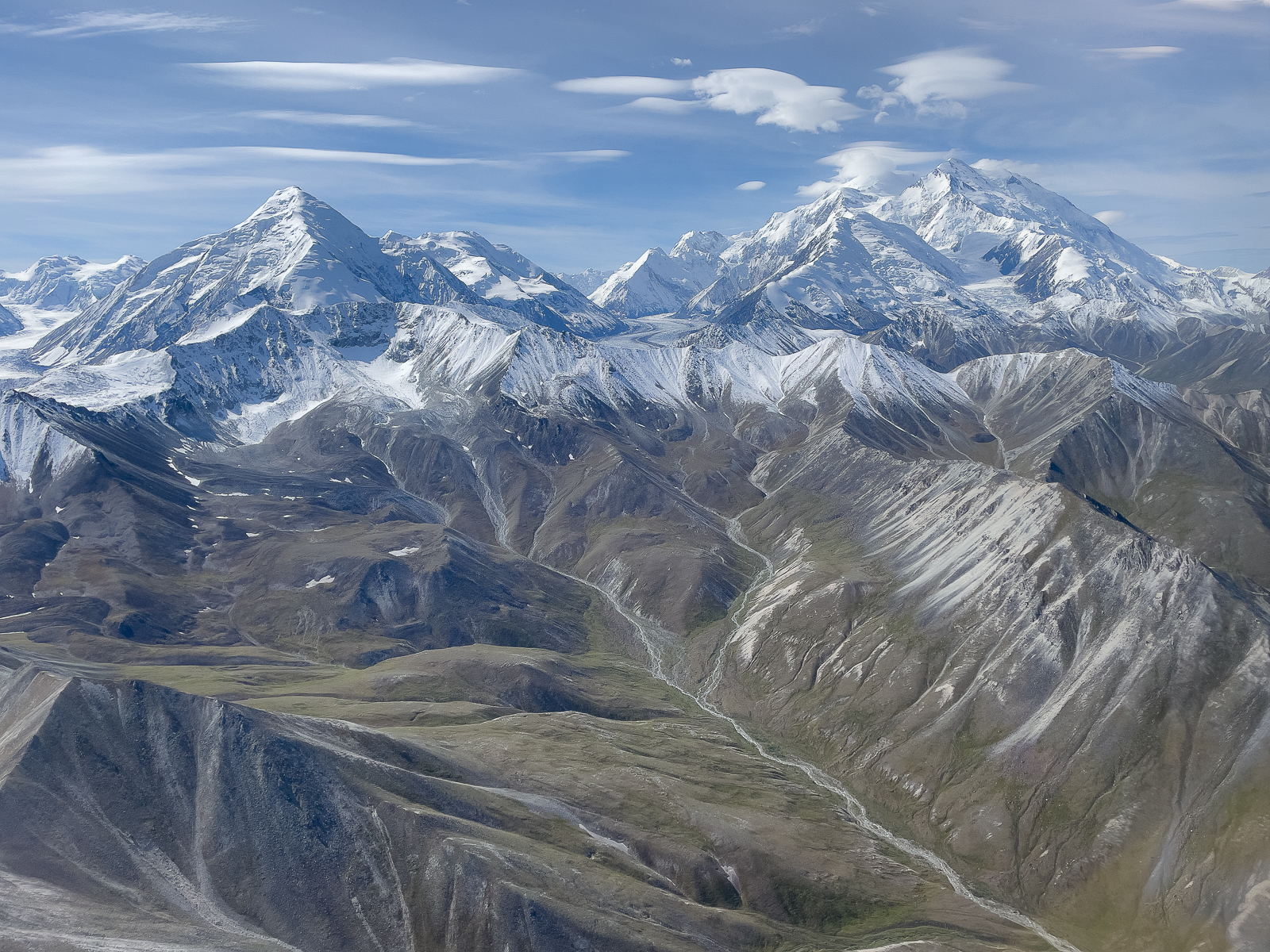
The northside lies in the rain shadow of the Alaska Range receiving an average annual precipitation of only 12 to 15 inches. This is a volatile microclimate of cold, dry weather with less snowfall and a shorter summer. Sparse taiga forests and tundra extend throughout. Expect wide temperature swings, more frequent thunderstorms, wind, turbulence, and sudden weather changes. The snowline can drop to a few thousand feet in mid-summer. Northside forecasts are virtually nonexistent, except for the Parks Highway corridor, which doesn’t translate to other parts of the range.
Northside glaciers, with lower ice volume, move more slowly and carry significantly higher debris loads. They are heavily rock-covered for much of their length. Weak metamorphic and sedimentary rocks undergo intense freeze/thaw cycles and feed loose rock to the glaciers below, adding to the abundant melt-out till.
Landscape features are noticeably different than those on the southside and are difficult to assess from the air. Solifluction lobes of slumping soil creep downslope. You’ll find tussocks, water-filled sinkholes from melting permafrost, frost-jacked surface rocks, and uneven ground caused by freeze-thaw cycles. Water is often trapped on the surface by the underlying ice and may be concealed by vegetation and gravel.
Be prepared for maddening clouds of biting insects (mosquitoes, gnats, and biting flies) in far higher numbers than on the southside. Full body armor is essential, including a hat, head net, and gloves. I include a freestanding tent for refuge. June is the buggiest month for mosquitoes; gnat season arrives in late August and September. Cooler temperatures, wind, and higher elevations can offer relief.
Except for sightseeing tours that fly high and don’t linger, only a small group of local pilots routinely explore the northside. If you fly over the range and plan to spend any length of time there, know you’re venturing deeper into a wilderness with higher stakes. Crossing back over may not be possible as scheduled. I always carry camping gear and extra fuel if I plan to cross the range. For communication, I use iPhone satellite texting and carry a Garmin Messenger Plus and a portable VHF radio.
Flying the Passes
The tables below list many key mountain passes, their elevation, estimated frequency of use, coordinates, and a few notes. They include passes in the Central Alaska Range, from Broad and Windy Passes on the Parks Highway westward to Shellabarger and Mystic Passes on the West Fork of the Yentna River. Some of the lesser-known passes mentioned are lower in elevation and may provide a more direct route across the range or be favored in marginal conditions.
| Divide Passes | Elevation* | Use | Coordinates | Notes |
|---|---|---|---|---|
| Anderson Pass | 5.4 | High | 63.290, -150.233 | Bi-directional; often windy and turbulent |
| Broad Pass | 2.4 | High | 63.331, -149.127 | Parks Highway bi-directional pass, weather gateway |
| Deception Pass | 9.3 | Low | 63.166, -150.499 | Bi-directional |
| Traleika Col | 10.0 | High | 63.065, -150.770 | Bi-directional; tour aircraft primarily cross southbound after flying clockwise around Denali |
| Kahiltna Pass | 10.3 | High | 63.079, -151.173 | Bi-directional; tour aircraft primarily cross northbound, then fly east toward Traleika Pass |
| Fin Pass | 8.8 | Low | 62.926, -151.640 | A direct route to/from the upper Herron Glacier |
| Thule Pass | 6.2 | Low | 62.877, -151.800 | A direct route to/from the Swift River and Chedotlothna Glacier; sometimes the best option when conditions are marginal elsewhere |
| Mystic Pass | 2.9 | Moderate | 62.644, -152.530 | Bi-directional |
| Shellabarger Pass | 3.3 | Low | 62.527, -152.781 | Bi-directional |
| Southside Passes | Elevation* | Use | Coordinates | Notes |
|---|---|---|---|---|
| Ski Pass | 7.3 | Low | 63.017, -150.461 | Bidirectional |
| Buckskin Gap | 7.1 | High | 62.987, -150.641 | Primarily westbound traffic |
| Floss Pass | 7.6 | High | 62.956, -150.591 | Flow is typically flown northeast around Moose’s Tooth and across Buckskin Gap to the Amp. |
| Espresso Pass | 6.0 | High | 62.940, -150.629 | Primarily eastbound flow; watch for traffic from 747 Pass crossing the Gorge to Espresso Pass. |
| Pittock Pass | 7.3 | Moderate | 62.948, -150.753 | Potential conflict with 747 Pass or Mt House traffic; fly above 747 Pass traffic. |
| 747 Pass | 6.4 | High | 62.937, -150.764 | Eastbound flow |
| Ruth Gap | 11.0 | Moderate | 62.987, -151.050 | Bidirectional |
| North Hunter Pass | 10.1 | High | 62.967, -151.074 | Bidirectional |
| Lacuna Pass | 7.3 | Low | 62.901, -151.349 | Bidirectional |
| South Hunter Pass | 8.2 | High | 62.874, -151.096 | Bidirectional; a primary route to/from Basecamp and scenic flights; over a mile wide. |
| One Shot | 7.6 | High | 62.810, -151.128 | Primarily northbound traffic; a primary route to/from Basecamp, bi-directional traffic may increase if South Hunter Pass shuts down; v-shaped, narrow. |
| Second Shot | 6.2 | Moderate | 62.788, -151.144 | May be open if One Shot is obscured |
| Pika Pass | 6.2 | Moderate | 62.689, -151.180 | Bidirectional |
| Northside-Denali Fault Passes | Elevation* | Use | Coordinates | Notes |
|---|---|---|---|---|
| Gunsight Pass | 6.6 | Moderate | 63.206, -150.852 | Bidirectional |
| Peters Pass | 7.8 | Low | 63.109, -151.221 | Bidirectional |
| Straightaway Pass | 7.3 | Low | 63.051, -151.375 | Bidirectional |
| Tranquility Pass | 7.0 | Low | 63.005, -151.519 | Bidirectional |
*Elevation in thousands of feet
You can also view these routes using the 3D Airstrip Map. Be sure the VFR Routes layer is turned on.
Tour pilots circling Denali typically fly Kahiltna Pass northbound and Traleika Col southbound. These passes are relatively close together, providing an efficient route. However, their frequent use shouldn’t imply they are the best options for crossing the range. At 10,300 and 10,000 feet respectively, they are among the highest divide passes in the area and often the first to be weather-affected. Their proximity to Denali’s summit exposes them to massif-generated weather and the brunt of North Pacific storms from the southwest.
Anderson Pass
Like the Parks Highway corridor (Windy Pass and Healy Canyon), Anderson Pass’s low elevation and frequent use belie its windy and turbulent nature. Use caution.
Broad Pass
This is the highest point along the Parks Highway corridor between Talkeetna and Fairbanks. If southside weather is marginal, ceilings are often lowest in the Broad Pass area.
Kahiltna Pass
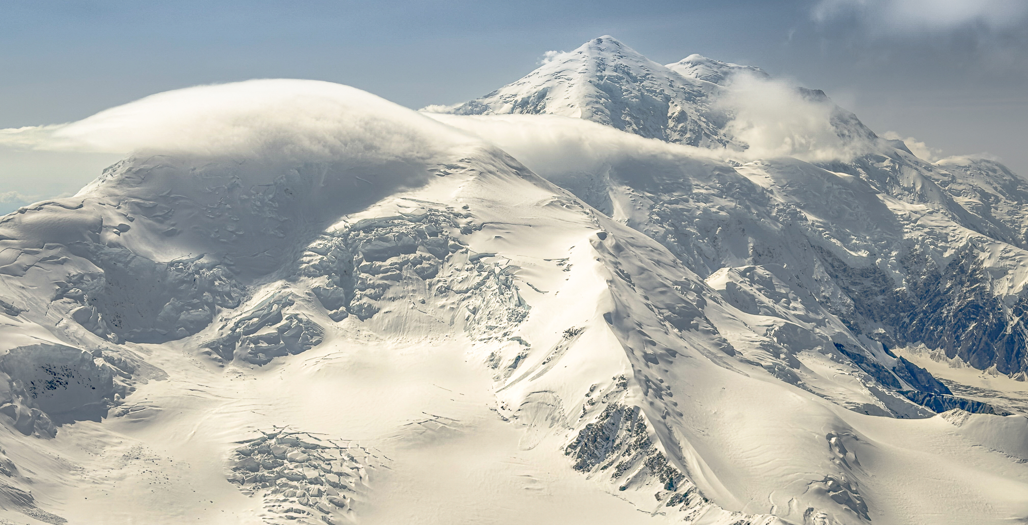
Kahiltna Pass is often safer to cross northbound. Atmospheric and anabatic wind patterns in the area typically flow from the south. Rising, funneling terrain accelerates up-glacier winds, which converge with air diverted by the mountain’s immense southwest face 10,000 feet above. Fly too low and you might get caught in a downdraft, or be blown into the glacier or into the clouds. I warily approach this pass while monitoring the wind and clouds, and I look for blowing snow.
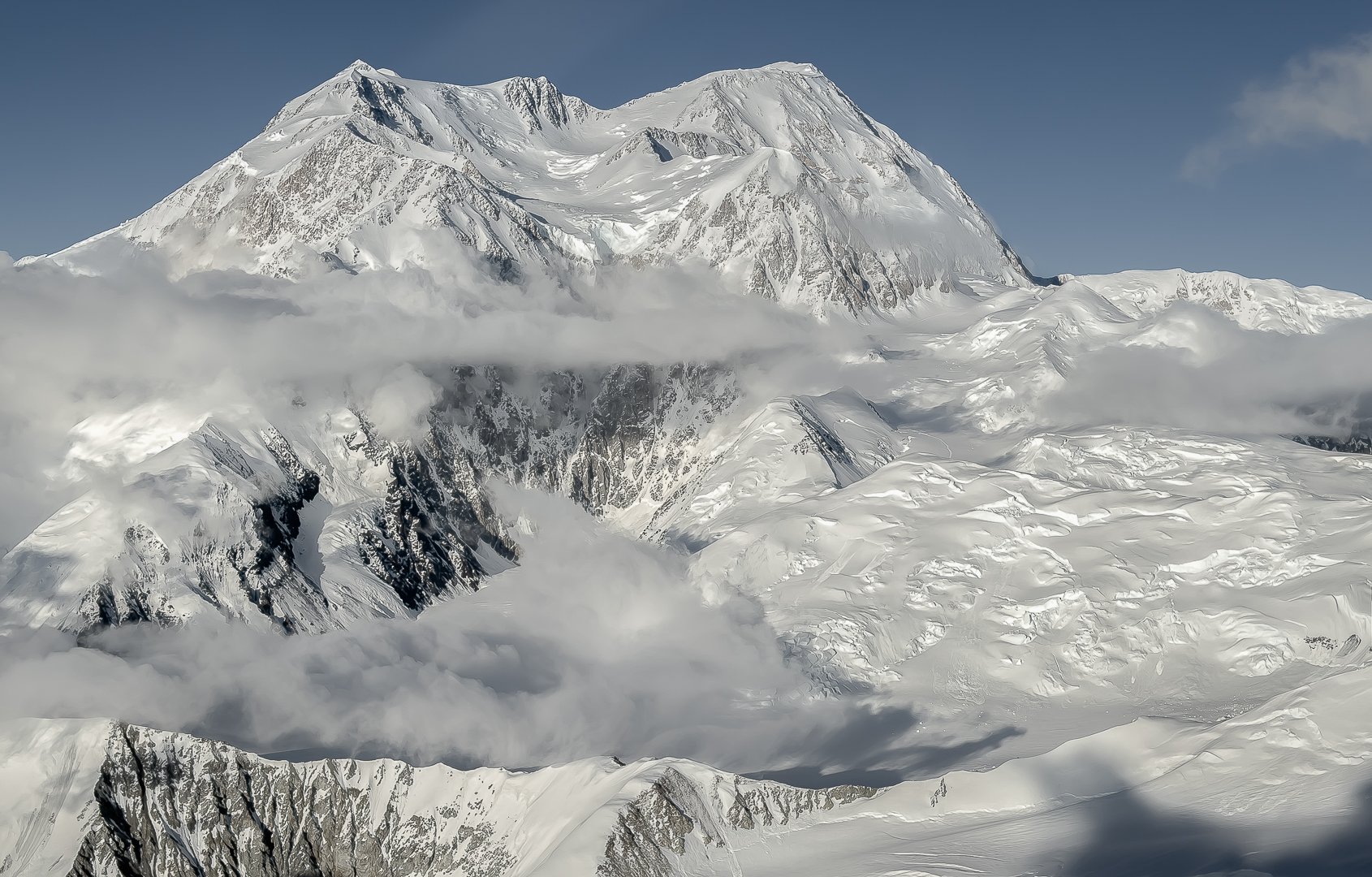
There’s plenty of room to maneuver for altitude at the upper Kahiltna for a safe crossing, but this is a high-traffic area, so it’s important to make consistent position reports. Report crossing, then switch frequencies and make another radio call to alert traffic on the opposite side. Include airplane type, abbreviated call sign (last three digits/letters of the aircraft ID), location, altitude, and your next destination. It’s good form to emulate the local professionals to keep calls as brief and concise as possible. Expect more frequent position reports when marginal weather shuts down part of the range and traffic density and spacing in the remaining VFR airspace are constrained.
Thule Pass
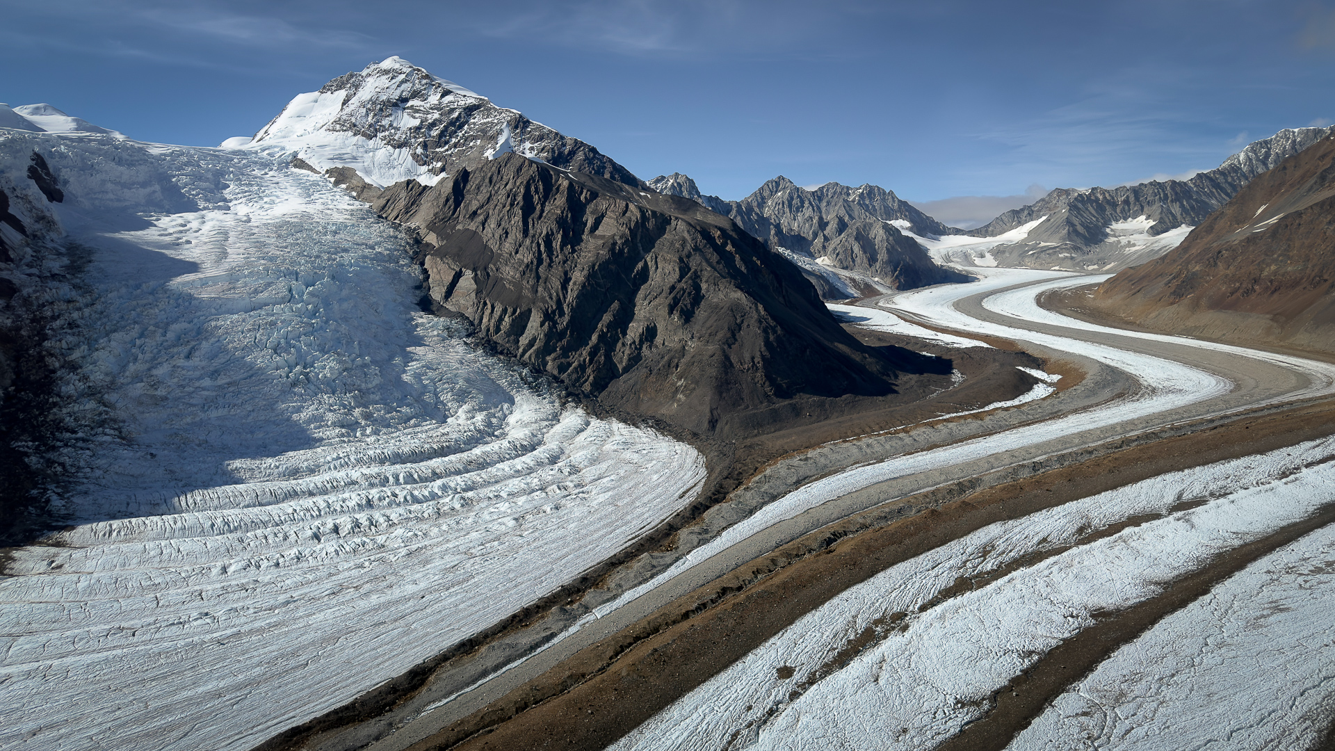
This low-elevation saddle at the northwest fork of the Yentna Glacier provides direct access to the Chedotlothna Glacier-Swift River area. Like nearby Lacuna Glacier, Thule Pass is in the rain shadow of the Southwest Alaska Range and benefits from more favorable weather patterns than mountains farther east.
Mountain Weather
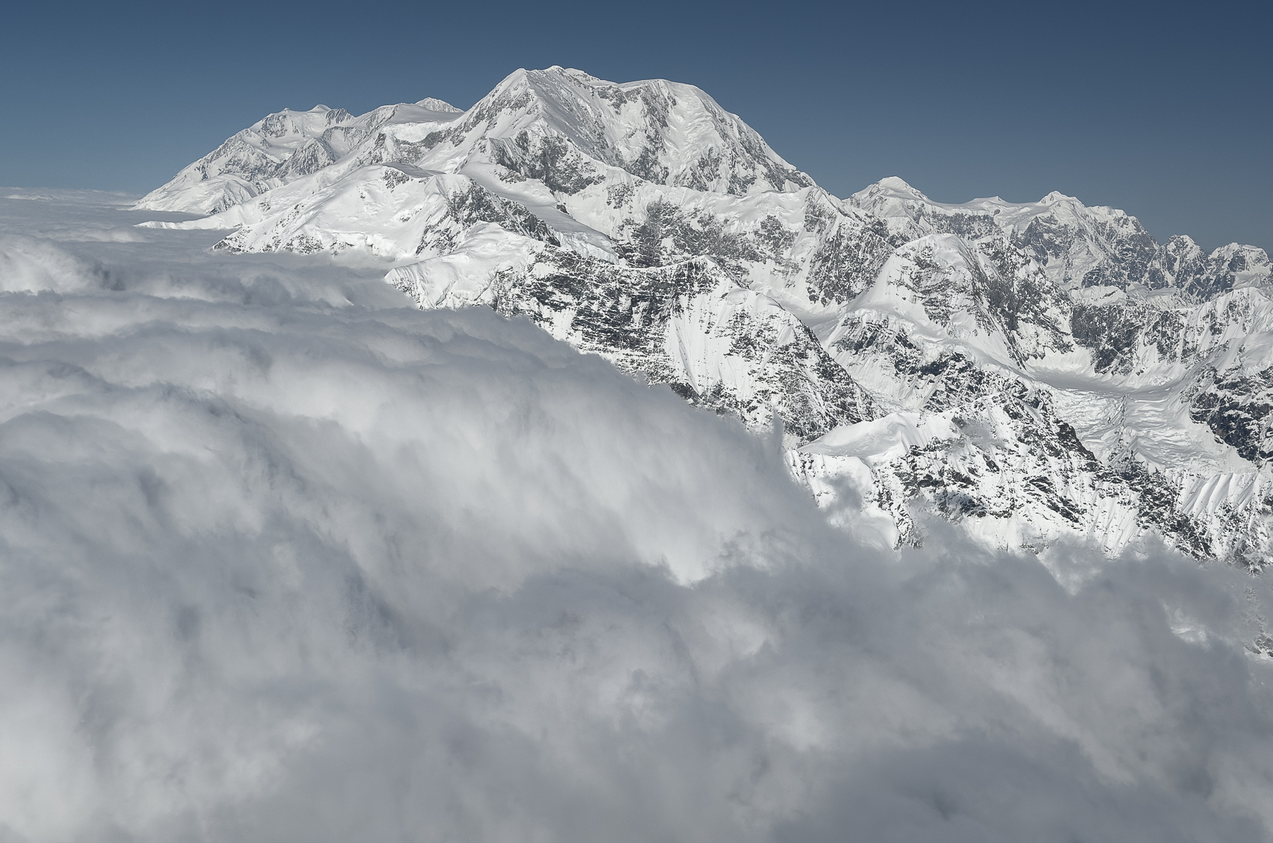
The highest peaks indicate changing weather in real time. Wind and cloud development signal shifts in the upper atmosphere that can be seen around the summits before lower elevations are affected. This is a place you don’t want to be when the weather turns, so remember to look up and watch the divide.
The Alaska Range is a demanding environment. What you see is what you get. Winds can increase suddenly, ceilings can drop, and passes can shut down in minutes. Don’t be lured by a small VFR hole over a pass. You may find hazardous conditions on the other side. The cloud bases may slope downward, forcing a dangerous dive to maintain VFR. And even in fair weather, thunderstorms can trap you in the mountains with no place to land. I try to keep multiple escape routes open, but only one may be visible from a landing site.
If weather traps you on the northside, you may be able to fly to an alternate strip (see the Airstrip Map). Charted strip options include Purkeypile, Kantishna, Stampede, and Parks Highway strips. If you need fuel, McGrath and Healy are the closest options.
Before venturing out, talk to local pilots and review the forecast (cloud types/coverage, winds, and transitional events). Be vigilant if the regional trend is negative. Forecast models may not account for terrain factors or rapidly changing microscale mountain weather. Don’t rely on forecast predictions, timing, or progression. They could be inaccurate, and forecast biases can create false optimism and unrealistic expectations. It’s the nowcast that matters.
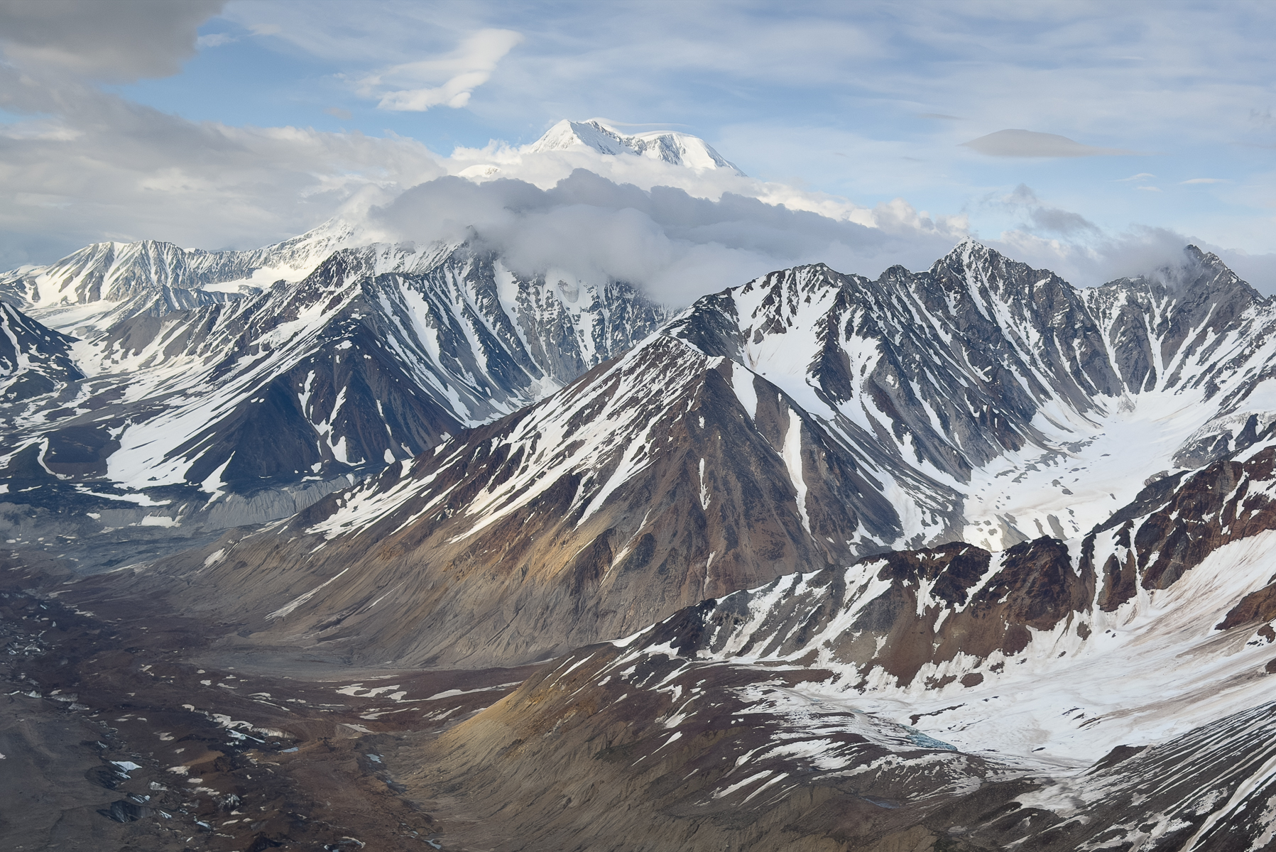
On June 29, 1912, explorer and mountaineer Belmore Browne reported the weather from 19,000 feet at a basin near the summit of Denali known as the Football Field. His colorful observation illustrates how quickly Denali’s weather can change, even when the northside is clear.
“On the northern side of the range there was not one cloud; the icy mountains blended into the rolling foothills which in turn melted into the dim blue of the timbered lowlands, that rolled away to the north, growing bluer and bluer until they were lost at the edge of the world. On the humid south side, a sea of clouds was rolling against the main range like surf on a rocky shore. The clouds rose as we watched. At one point a cloud would break through between two guarding peaks; beyond, a second serpentine mass would creep northward along a glacier gap in the range; soon every pass was filled with cloud battalions that joined forces on the northern side, and swept downward like a triumphant army over the northern foothills. It was a striking and impressive illustration of the war the elements are constantly waging along the Alaskan Range.”
The storm arrived quickly, and the team was forced to turn back less than 200 feet from the summit.
Explore Far
“In order to attain the impossible, one must attempt the absurd.” — Miguel de Unamuno
Flying in the Alaska Range has its perils, but it’s a rare privilege. With a healthy respect for the mountains and good judgment, the reward can be extraordinary. Access to remote places and an aerial view of the vertical landscape make unforgettable experiences possible. Just be flexible, because the mountains will have the final say.
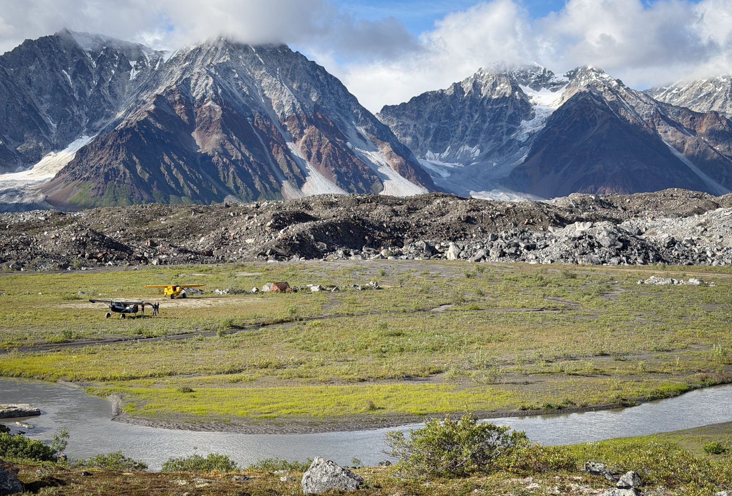
As I write, a fall storm is raging in the Alaska Range. Cold rains have drenched the boreal forest, and the snowline is dropping. A questionable forecast calls for five more days of IMC until the next brief window. Until then, I’ll keep feeding the woodstove and wait for good flying weather. And when the sun breaks, I’ll be more than ready to venture into one of the greatest alpine realms on the planet.